Volcanoes and Earthquakes:
How were the landscapes of the Aegean formed?
Exhibition Photos
Exhibition SECTIONS
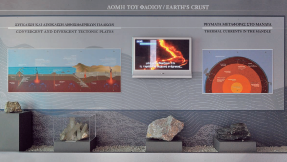
The structure of the Earth-Tectonic plates
The first section is dedicated to the Earth’s lithosphere and the processes that keep the "Earth" system alive. With construction models and audiovisual material, the visitor gets to know the planet’s structure and more specifically the structure of the fragile and evolving lithosphere on which life developed. The lithosphere consists of tectonic plates and their movement on the viscous asthenosphere creates volcanoes on a global scale. The interactive world map of volcanoes enables the visitor to get to know the most important active volcanoes in the world. An impressive model portrays the process of the tectonic plate conjunction in the east Mediterranean area, the subduction of the African tectonic plate south of Crete, the transfiguration of the extended region and the creation of the active volcanic arc of the Aegean.
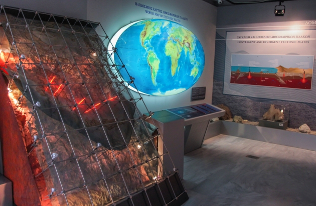
From the Tethys to the Aegiis
Characteristic samples of rocks from the oceanic crust of Tethys and the continental crust of Eurasia accompany the audiovisual production that presents the geotectonic evolution of the Greek area formed by the collision of Eurasia and Africa and the crushing and destruction of the ocean area of Tethys that used to separate them 250-65 million years ago. The exhibition also explains the mechanisms responsible for the rock compression in the area, the emergence of oceanic rocks from the ocean floor to the land surface and the creation of an extended landmass about 20 million years ago, which was called “Ageiis landmass” and occupied the area of present-day Aegean Sea, mainland Greece and Asia Minor.
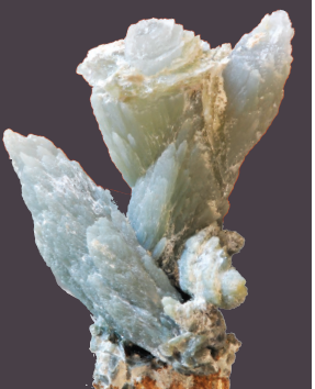
Silica minerals
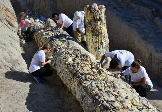
Silicon is a widespread element in the earth's crust and forms many compounds that are components of many minerals and rocks, which are the building materials of the earth's crust. Silicon dioxide is directly connected to the creation of the Petrified Forest on Lesvos, as its fossilization is the result of "molecule by molecule" replacement of plant tissues by silicon dioxide about 20 million years ago. Impressive forms of silicon minerals are presented such as transparent quartz, quartz crystals, smoky quartz, amethyst, chalcedony, the unique prase of Serifos, pink quartz etc.
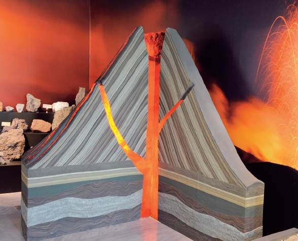
Volcanoes and volcanic rocks
This section is dedicated to volcanic activity. A reconstruction of the volcano of Lepetymnos, the main volcanic center that was active 16.5 to 21.5 million years ago in Lesvos, dominates the room. In a cross section of the model, the rocks of the background of Lesvos appear, but also the successive layers of lava and volcanic ash, products of the successive eruptions of the volcano. The section also includes reconstruction models of different types of volcanoes and information of volcanic eruptions and their products through audiovisual material. On display there is also a rich collection of volcanic rocks from Lesvos and from other areas of the active Greek volcanic arc, such as impressive specimens of lava and pyroclastic rocks, kaolin and obsidian.
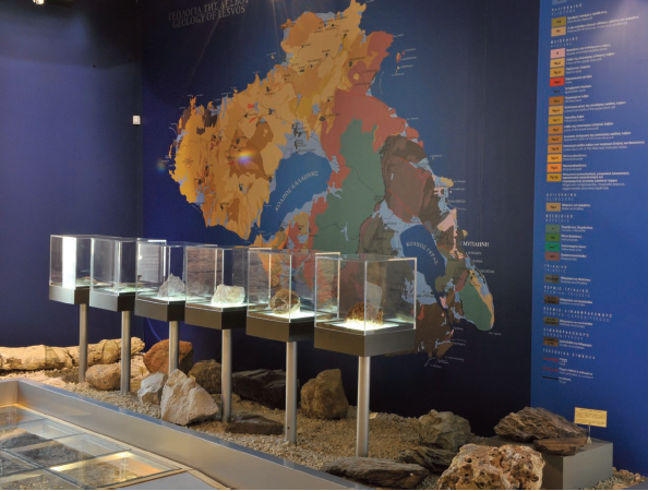
Geological structure of Lesvos
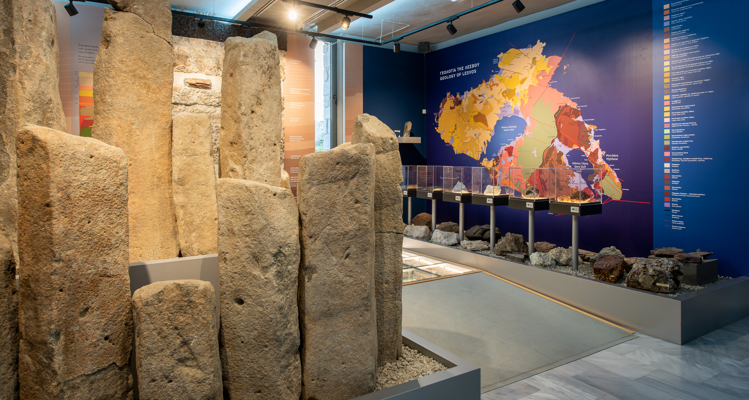
The geological structure of Lesvos is characterized by a wide variety of heterogeneous rocks and geological formations that form an impressive mosaic. The complex geological evolution of Lesvos is presented in the large geological map of Lesvos accompanied by impressive rock samples and in the synthetic stratigraphic column (section of the crust) that shows the vertical relationship between all the rocks that appear on the island. The analytic stratigraphy of the pyroclastic rocks reveals the volcanic ash horizons where fossilized trunks, roots, fruits, leaves and seeds lie perfectly preserved.
From the Aegiis landmass to the Aegean Sea
The palaeogeographic evolution of the Aegean region presents the geological phenomena associated with the creation of the Greek Archipelago, which continue to affect the Greek area to this day. Paleographic maps of the Aegean area illustrate the evolution of the region over the last 25 million years, from the fragmentation of the Aegiis landmass, that connected mainland Greece with Asia Minor, to the creation of the Aegean Sea. The Aegean is still active today as evidenced by the large seismic faults and the epicenters of the largest earthquakes that are recorded. The map of the active faults of the Aegean details the current geo-dynamic situation and seismic activity. Screens connected to the seismological stations in Sigri and Thessaloniki display recordings of seismic waves in real time. An educational seismograph shows how seismic waves are recorded.
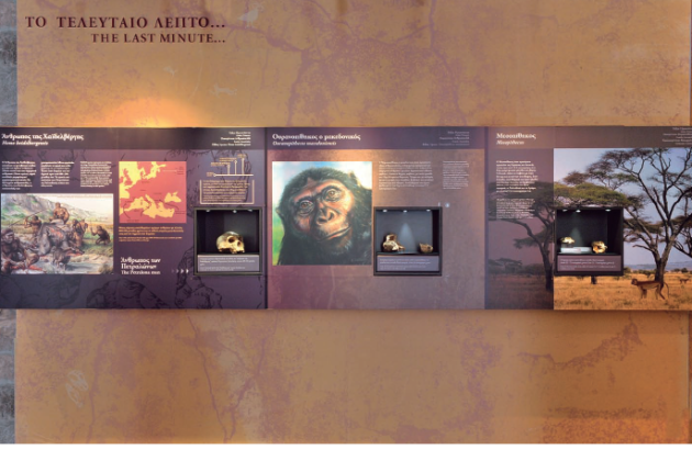
Life in the Aegean and the presence of humans
A great number of mammal fossils that have lived for the last 20 million years have been discovered through excavations. Some of the fossil-bearing sites of our country are known, worldwide, for the variety of animal species, the large number and the good preservation of the fossils. The mammal fossils found in Greece offer a wealth of information on the evolution of life, on our planet and the connection between geographical, climate and environmental changes.
Among them, the impressive skulls of primates are of global interest. In specially designed showcases are exhibited cranial casts of the Mesopethicus species and Ouranopithecus macedoniensis, from fossil-bearing sites of the valley of the Axios river in Macedonia. Also on display is the cast and reconstruction of the “famous” human scull from the cave of Petralona, Chalkidiki, which is one of the best preserved fossils in Europe representing an evolutionary stage between Homo erectus and the current day Homo sapiens. The section concludes with tools made of flint from the Paleolithic age, that were found on Lesvos.
Other Exhibitions


